In the tiny town of Warrenton, OR, just blocks from the park, the Ford dies at the town's only stop sign. Within minutes, Officer Friendly is on the scene, blocking traffic with his car (and maybe a little bit with his person too).

He and Art push while I steer the truck around the corner to a safer spot. Then the cop says in a perfectly calm voice with an apologetic chuckle: I'd stay with you, but there's someone on the edge of town who's threatening to kill someone else, and my deputy's just called for assistance. (No problem.)
Happily NAPA's open on Sunday and located just three blocks away. Art returns with a new version of a leaky vacuum plug, fixes the problem (I love traveling with my mechanic), and we gas up across the street while I sit in the parking lot borrowing free wi-fi from the mini mart.
Driving into Washington, we cross the mouth of the Columbia on a vast bridge. Thanks to astute reader and dear friend Bill M, who emailed us a while back re our trip through eastern Oregon. He reminds us that:
The Lewis and Clark expedition missed the desert and most of Oregon entirely. They headed northwest from Montana across northern Idaho and came down the Columbia River. They turned south when they approached the Pacific and built a camp in the extreme northwest corner of what is now Oregon in order to avoid Indians on the Washington side. A reproduction of their camp is still there (near Astoria?) if you want to visit it.
Here we are crossing the Coumbia on a vast bridge, heading right for that Lewis and Clark encampment. We wish we could stop at every historic site, Bill.

Here's the map, to position us (click to enlarge), our route today in yellow.

It's a sunny day and we're heading north.

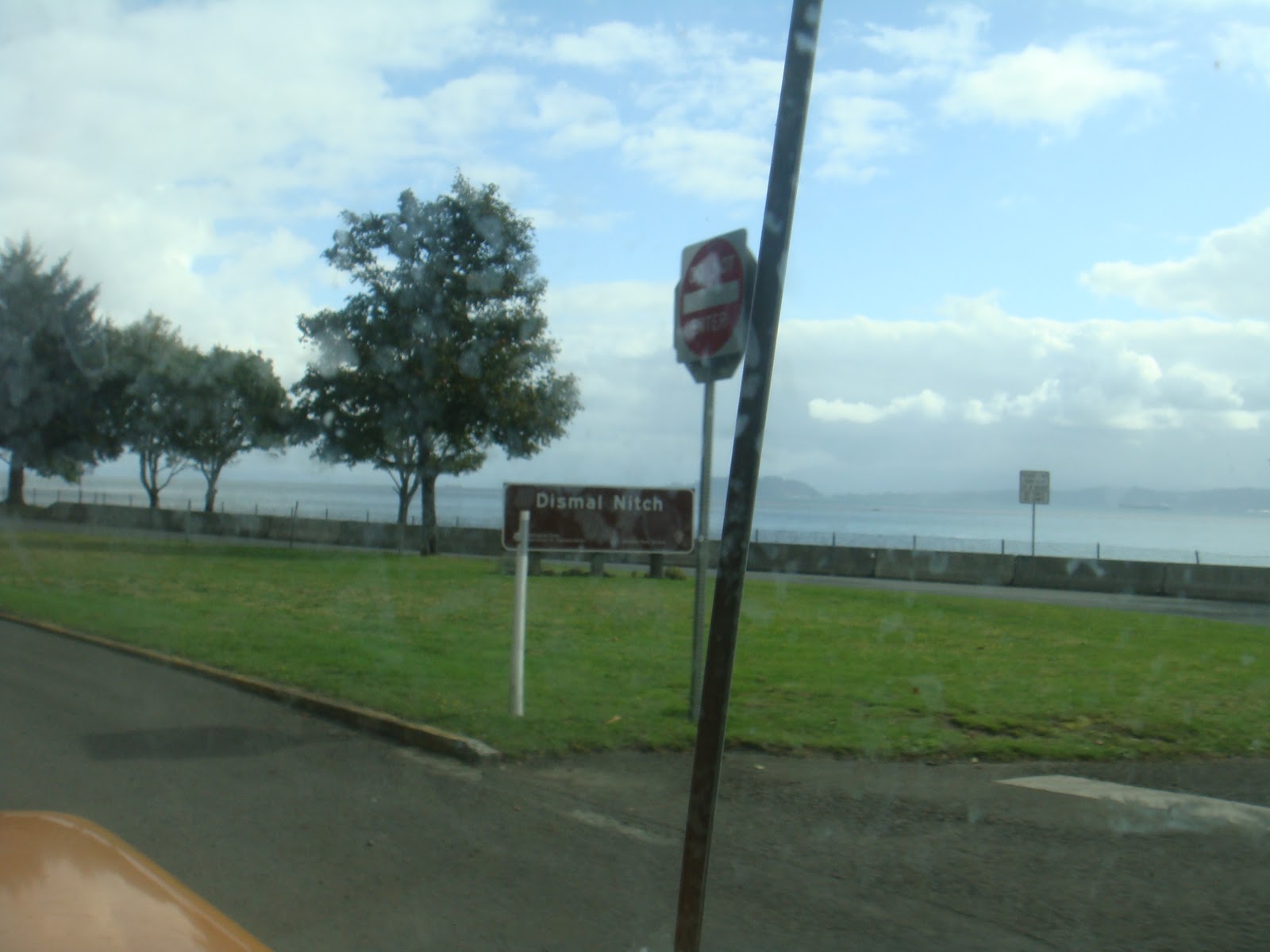
Here's a sign someone needs to research: DISMAL NITCH. What could it mean? It sounds ominous, like the wicked witch's lair, or accusatory, as in "you dismal nitch."
 s
sUp Highway 101 with a left a Hoquiam toward the beaches and Pacific Beach State Park, where Art's finger landed on the map over coffee earlier today.

It's right on the beach, this beautiful surprise of a park, near Pacific Beach the town.

Dune grass, sand, and crashing waves just outside my sleeping window.

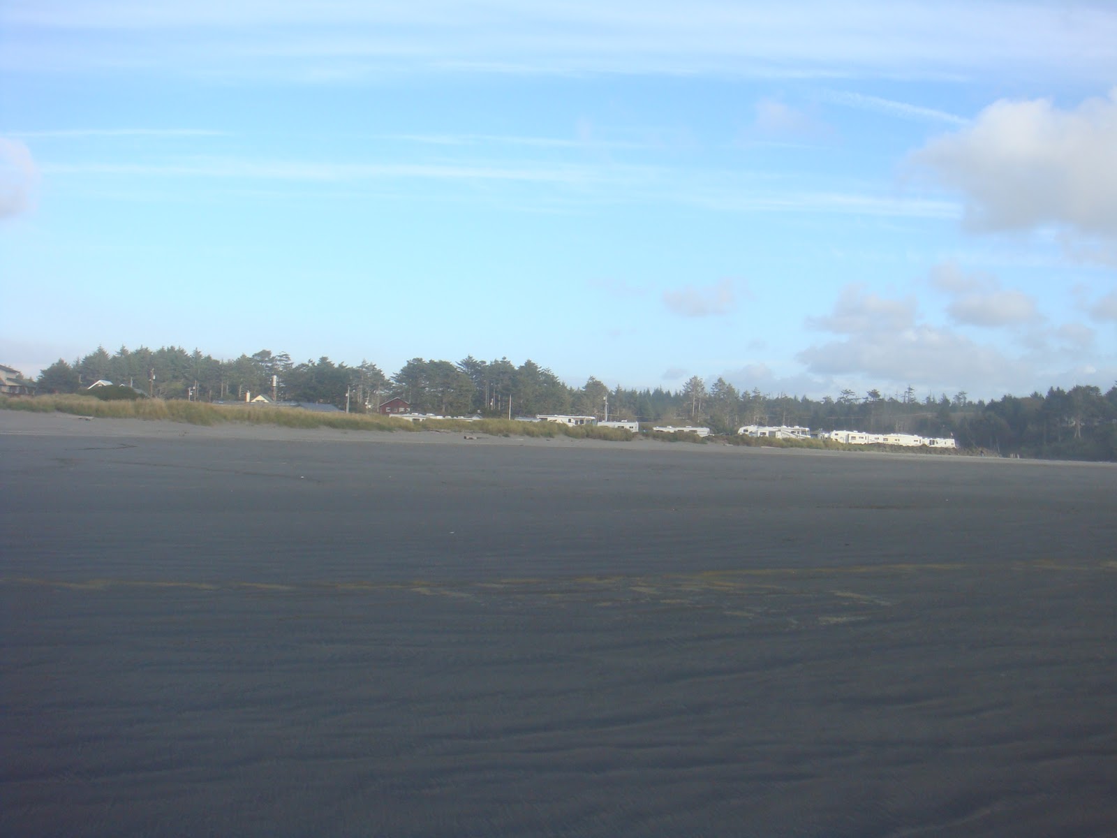
Photographer's trick: Looks like we're all alone in the #1 spot. Wish we were...

...but there are many big rigs already here.

Landing in an entirely different part of the country reveals different priorities. This sign was posted on the camp board check-in: When was the last tsunami in our area? (Double click to find out.)

The view north from our site...
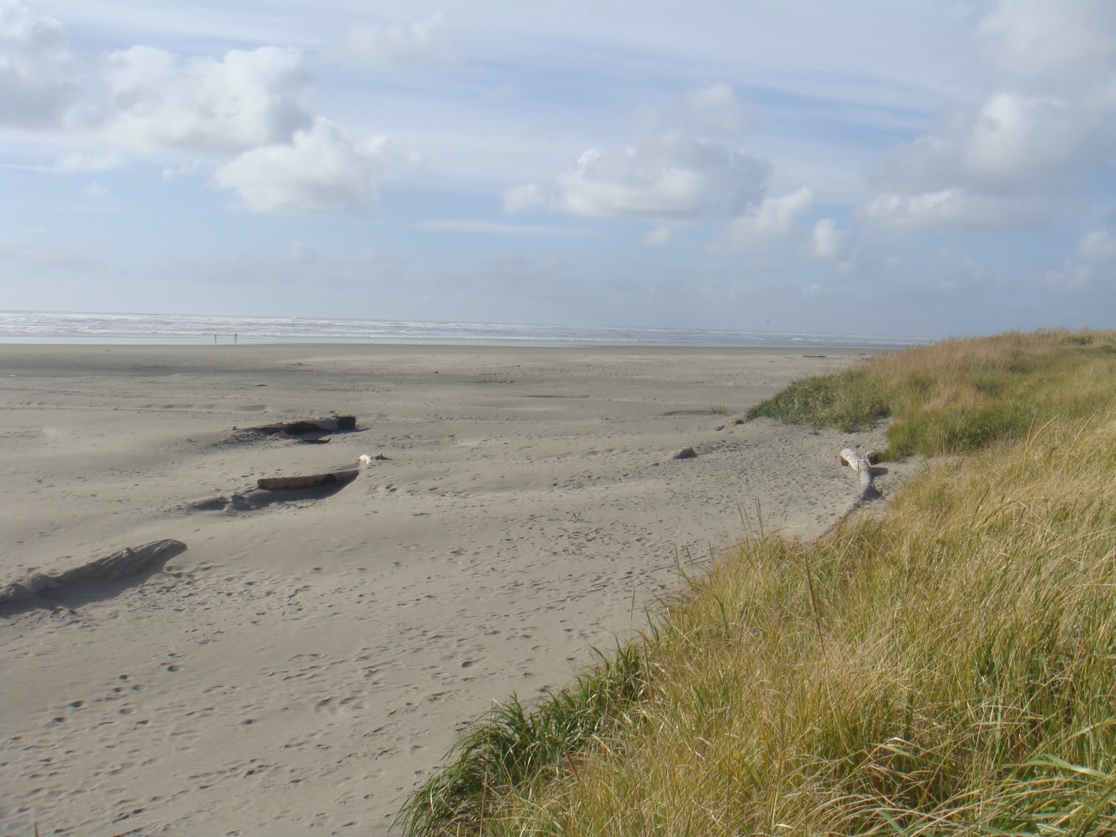
...and the view south.

Time for a walk. I checked the tables and 4:25 is low tide.

Looking back from the water at the campsites (the beach is enormous at low tide).
Vast in the setting sun.


Tomorrow we'll get back on red Highway 101 and head for the Olympic National Forest. But for now, the setting sun and another look at that beach.


No comments:
Post a Comment